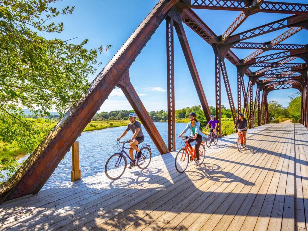
12. The Belleisle Marsh
8.2 km loop
Start: Belleisle Marsh Road, near Little Brook Lane
Best for: an easy family outing among the Annapolis River’s marshes and countryside.
View illustrated route map ↗Find a ride that suits your day, from short family outings to challenging back-road loops. These route ratings, distances and illustrated maps come from the Municipality of the County of Annapolis guide.
Choose a difficulty below, then open the County’s route card for its map and full directions.
Easy / familyEasy to moderateModerateModerate to challengingChallengingHarvest Moon Trailway
Shorter outings and family options.
8.2 km loop
Start: Belleisle Marsh Road, near Little Brook Lane
Best for: an easy family outing among the Annapolis River’s marshes and countryside.
View illustrated route map ↗Several park options
Start: Jake’s Landing, Kejimkujik National Park
Best for: a family day among Kejimkujik’s forests, lakes and park trails.
View illustrated route map ↗Mostly gentler routes; check each map for its distance, road conditions and return details.
25 km return
Start: Annapolis Royal Farmers’ and Traders’ Market
Best for: visiting Port-Royal Habitation and learning about the early French settlement.
View illustrated route map ↗52 km return
Start: Annapolis Royal Farmers’ and Traders’ Market
Best for: a day trip to Victoria Beach, its lighthouse and the Bay of Fundy shore.
View illustrated route map ↗50 km loop
Start: Raven Haven Beachside Family Park, West Springhill
Best for: pairing a countryside ride with time at Raven Haven Beachside Family Park.
View illustrated route map ↗50 km loop
Start: Annapolis Royal Farmers’ and Traders’ Market
Best for: following the Annapolis River through the valley’s small communities and farmland.
View illustrated route map ↗35 km loop
Start: Queen Elizabeth II Jubilee Park, Bridgetown
Best for: seeing Bridgetown and the surrounding Annapolis River Valley.
View illustrated route map ↗102 km return
Start: Annapolis Royal
Best for: pairing a long countryside ride with a visit to Kejimkujik’s forests and lakes.
View illustrated route map ↗A rolling loop for riders looking for a steady day out.
33 km loop
Start: Riverside Park, Middleton
Best for: visiting the Annapolis Valley communities of Lawrencetown and Middleton, with river scenery between them.
View illustrated route map ↗Longer distances, steeper hills or rougher road conditions.
8.2 km loop
Start: Annapolis Royal Farmers’ and Traders’ Market
Best for: a short introduction to Annapolis Royal and its rural surroundings.
View illustrated route map ↗45 km loop
Start: Annapolis Royal Farmers’ and Traders’ Market
Best for: leaving Annapolis Royal behind for a longer ride through the county’s quiet countryside.
View illustrated route map ↗56 km return
Start: Cottage Cove Provincial Picnic Park, near Port George
Best for: taking in Bay of Fundy shoreline and the small coastal communities near Port Lorne.
View illustrated route map ↗52 km loop
Start: Rotary Raceway Park, Middleton
Best for: seeing the contrast between Annapolis Valley farmland and the Bay of Fundy from North Mountain.
View illustrated route map ↗65 km loop
Start: Annapolis Royal Farmers’ and Traders’ Market
Best for: following the landscapes associated with Ernest Buckler, author of The Mountain and the Valley.
View illustrated route map ↗Choose 25, 50, 100 or 160 km
Start: Rotary Raceway Park, Middleton
Best for: choosing a valley ride to suit your day, with distance options from 25 to 160 km.
View illustrated route map ↗23.9 km loop
Start: Valley View Provincial Park
Best for: a picnic beside the Annapolis River at Hebb’s Landing, with a rural ride to get there.
View illustrated route map ↗19.2 km loop
Start: Needs Convenience Store, Nictaux
Best for: a countryside loop with a visit to Nictaux Falls and the surrounding scenery.
View illustrated route map ↗Longer or hillier rides, including remote and unpaved sections. Review the route card before setting out.
63 km loop
Start: Queen Elizabeth II Jubilee Park, Bridgetown (or Annapolis Royal)
Best for: open Bay of Fundy views, fishing wharves and classic coastal scenery.
View illustrated route map ↗40.5 km loop
Start: Port-Royal Habitation, Granville Road
Best for: exploring the quieter Fundy shore near Delaps Cove and its rugged coastline.
View illustrated route map ↗24.2 km loop
Start: Cornwallis Park Mall
Best for: a visit to Bear River’s galleries and shops, set among tidal estuary scenery.
View illustrated route map ↗91 km return
Start: Needs Convenience Store, Nictaux
Best for: a long ride into South Mountain’s rural interior, with a rail-trail return.
View illustrated route map ↗48.8 km return
Start: Needs Convenience Store, Nictaux
Best for: an outing to Cloud Lake for a remote lake-and-forest experience.
View illustrated route map ↗The Harvest Moon Trailway links Annapolis Royal and Grand-Pré along the former railbed. Its full length is about 110 km, but multiple trailheads make shorter local rides possible. Most of the trail has an easy grade and a hard-packed surface; conditions and permitted uses vary by section. Hybrid or mountain bikes are recommended.
Before you ride: Check the official map for access points, current closures and detours. Some shared-use sections permit motorized trail vehicles; obey signs and give other trail users room.
Explore the official trail map ↗Trail details and cycling guidance ↗

Route guide and illustrated route cards: Municipality of the County of Annapolis ↗
Harvest Moon Trailway information and official trail map: Destination Trails Nova Scotia ↗
Photography: Tourism Nova Scotia, via novascotia.com ↗.
150 Saint George Street
Annapolis Royal, Nova Scotia
Canada
Local recommendations from Bailey House Inn.
© 2026 Bailey House Inn · STR2627B2071 · Privacy · Instagram · Facebook
Destination photography: Tourism Nova Scotia and its listed operators. Additional photographs: Bailey House Inn and Restaurant Composé. Photography also includes Digby Wheelhouse. The illustrated walking map is representative, not for navigation.